↓
 

Kaufman Civil Engineering

...a David H Recht Engineering marketing website.

Kaufman Civil Engineering
(430) 205-8886
Kaufman Civil Engineering
  • Home
  • Civil Engineering
  • Construction Management
  • Drone LiDAR Mapping
  • Environmental Engineering
  • Expert Witness
  • Land Development Services
  • Land Surveying Services
  • Structural Engineering
  • Transportation Engineering
  • Blog
Home→Environmental Engineering→Hypsometry

Post navigation

← Piping and Plumbing Fitting

Hypsometry

Kaufman Civil Engineering Posted on June 18, 2026 by KaufmanCEJune 16, 2026
Illustration of a hypsometric curve with a color-coded terrain elevation map showing contour lines, mountains, rivers, and surface area distribution.

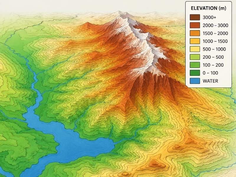
Hypsometry is the science of measuring and analyzing the elevation and depth of features on the earth’s surface relative to the mean sea level. It is used to study the distribution of land elevations and ocean depths, helping geographers, hydrologists, and engineers understand terrain characteristics and landscape development. A common tool in hypsometry is the hypsometric curve, which shows how surface area is distributed across different elevations within a region (Wikipedia).

Posted in Environmental Engineering Tagged community development, community resources permalink

Post navigation

← Piping and Plumbing Fitting

Contact Us


© KaufmanCivilEngineering.com
306 N ADELAIDE ST
TERREL, TX 75160
Phone: (430) 205-8886
...a David H Recht Engineering marketing website.

Web Development and SEO by:
N2Biz.co

Privacy Policy | Terms of Use

The owner of this website, USA Surveying & Engineering, LLC., provides coordination of professional land surveying and engineering services in all 50 states. The professional surveying and engineering services provided to you will be conducted by fully licensed professionals in your state.

&nbsp Privacy Policy
↑